About Us
Leaders in satellite tracking since 2003, Ground Control has been at the forefront of keeping people and assets connected, even in the world’s harshest environments. Our sister company YB Tracking delivers tracking services for extremely demanding endurance events, such as The World’s Toughest Row, and the Cape Wrath Ultra Marathon.
What we learned in the pursuit of reliable, hyper-accurate, secure and global tracking has been incorporated into our hardware, firmware and software – all of which is designed and built in-house.
Tracking Solutions for Your Sector
Our Platform
![]()
Real-Time Location Monitoring
Cloudloop delivers precise, real-time tracking of your assets and personnel, no matter where they are. With satellite connectivity, you can monitor positions even in the most remote regions where cellular networks are unavailable. The intuitive dashboard provides live updates, empowering you to maintain full operational oversight and make fast, informed decisions.
Historical Location Reporting
Cloudloop doesn’t just show where your assets are—it also records where they were. This feature allows you to review and analyze past movements to identify inefficiencies, confirm completed routes, and ensure compliance with safety policies. Historical reports help optimize future operations while providing a valuable audit trail.
Respond Faster to Emergencies
Cloudloop is equipped to receive and escalate SOS alerts triggered from connected devices. When an alert is issued, the system pinpoints the exact location of the individual or asset, enabling a rapid emergency response. This can mean the difference between safety and disaster for people in remote or dangerous areas.
Customizable Alerts
Stay informed with alerts tailored to your specific needs. Cloudloop lets you set up geofence entry/exit notifications, movement triggers, or inactivity alerts. Whether it’s identifying unauthorized equipment use, detecting a lone worker in distress, or ensuring operational schedules are met, Cloudloop ensures you’re always in the loop.
Geofencing and Zone Management
Define custom geographical boundaries and monitor movement in and out of these zones. Cloudloop’s geofencing feature helps reduce risk by ensuring assets remain where they should be.
This is particularly useful for theft prevention, managing restricted work zones, and automating alerts when equipment enters or exits designated areas.
Two-Way Communication
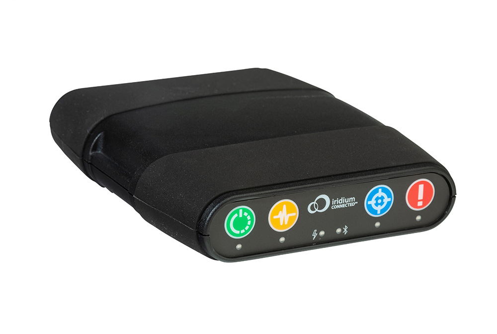
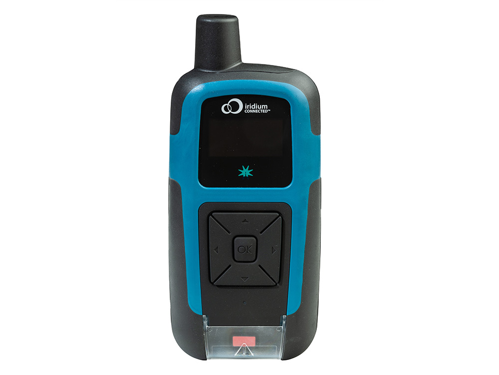
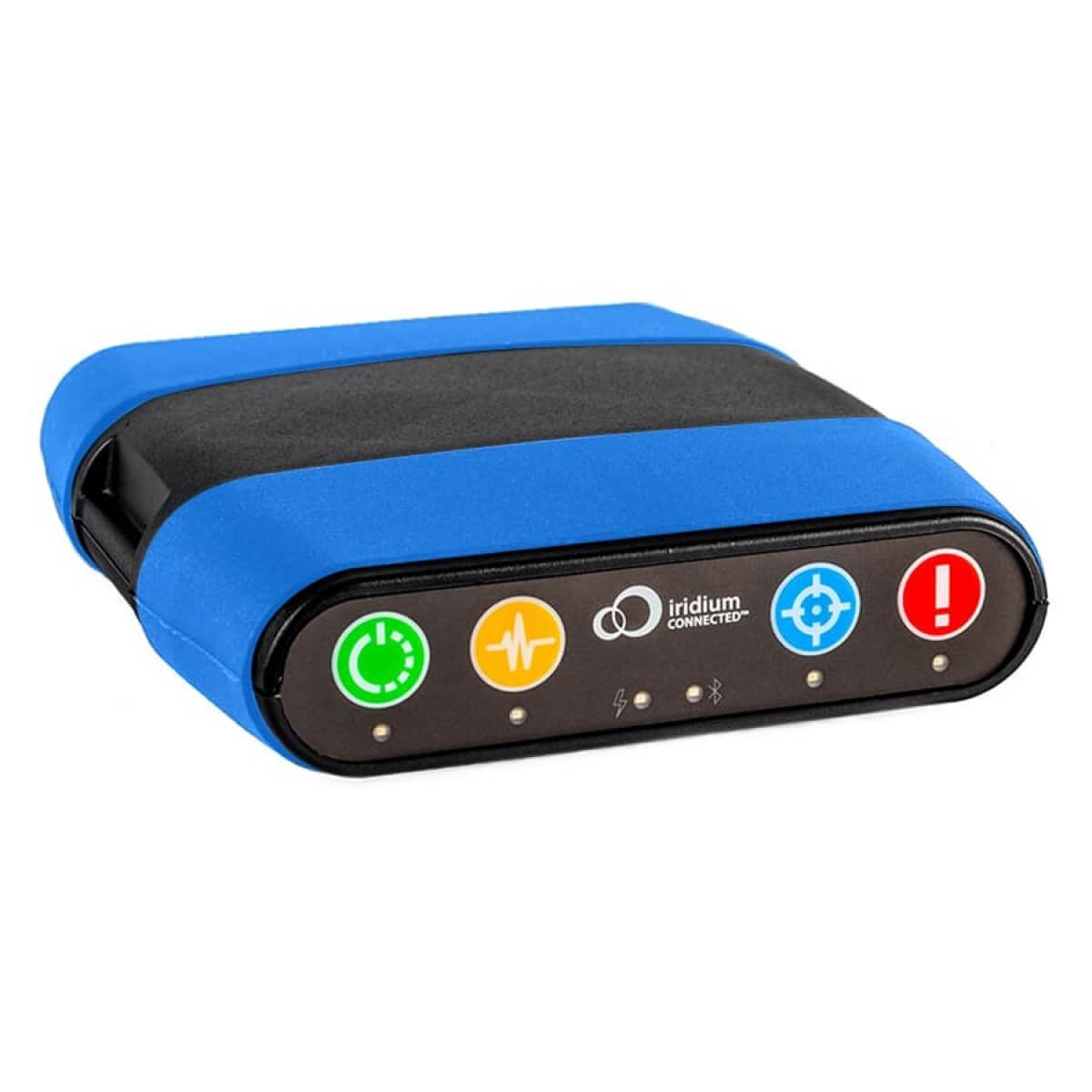
Cloudloop integrates seamlessly with enabled-devices like the RockSTAR or RockFLEET to enable two-way text communication. Send critical updates to field workers and receive acknowledgments, all within a unified platform.
This feature is invaluable for maintaining connectivity and ensuring safety in challenging or hazardous environments.
API Integration for Third-Party Platforms
Cloudloop’s robust API lets you integrate location and event data into your preferred operational platforms. Whether you use ERP systems, telematics dashboards, or proprietary software, Cloudloop ensures seamless data transfer, so you can manage assets and workflows without disruption.
We already support integrations with aviation platforms TracPlus, IndigoSat, and v2Track, plus incident management platform Locate Global.
Integrations
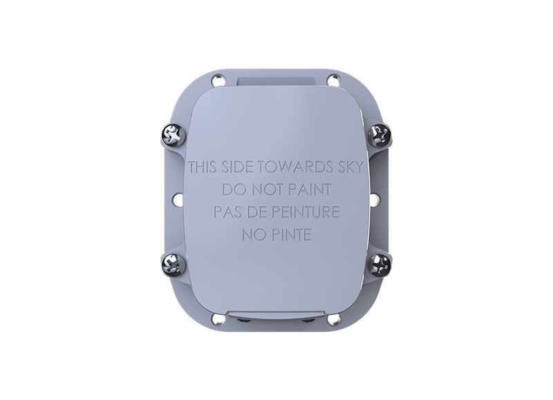
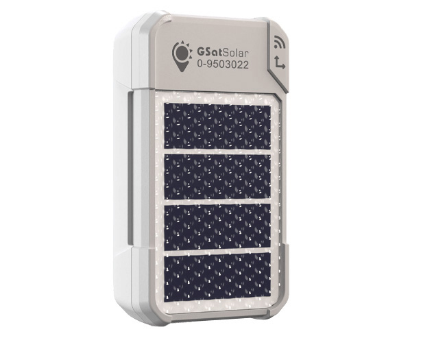
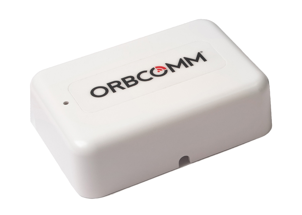
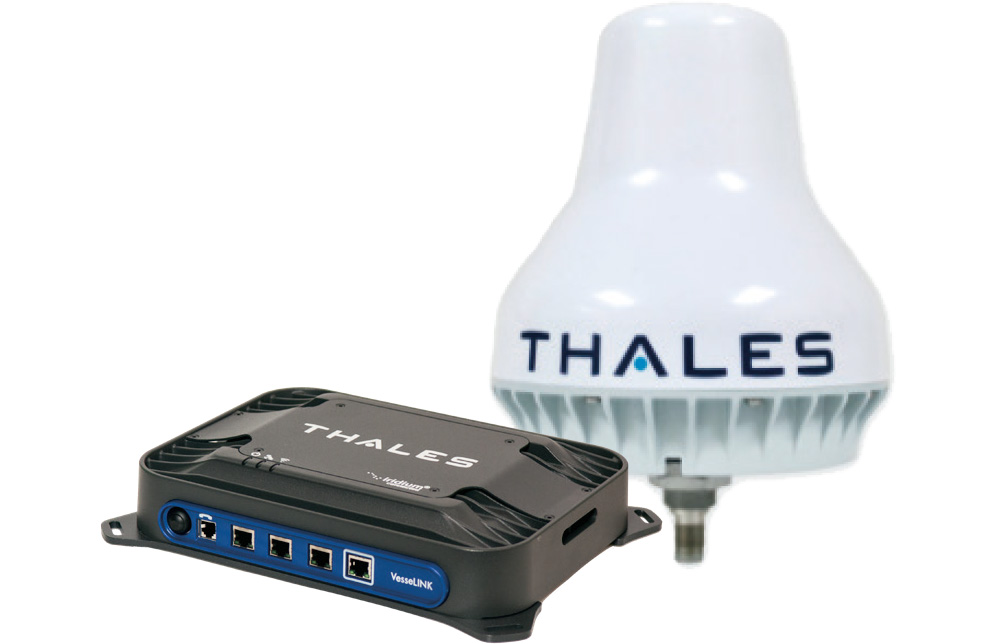
Our tracking devices have also been integrated with these platforms, which offer sophisticated, application-specific functionality.
Can we help?
If you want to explore what your projects and applications could achieve with ubiquitous coverage; or you have your own tracking software and want to explore integration options with Ground Control’s satellite tracking devices, we’d love to hear from you.
Please complete the form, or if you prefer to speak to someone directly, call us on +44 (0) 1452 751940 (Europe, Asia, Africa) or +1.805.783.4600 (North and South America).

