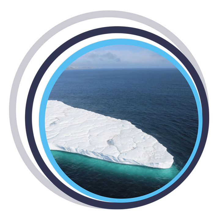
Since the early twentieth century, and most noticeably over the last 25 years, many glaciers around the world have been melting at an accelerated pace due to climate change. In the Arctic, this has led to an overall reduction in sea ice coverage, and an increase in the formation of large icebergs calved from glaciers and drifting out on the ocean currents.
A consequence of the overall reduction of sea ice in the Arctic has been an increase of 111% in shipping traffic in the region over the last 10 years, with fishing vessels also increasing significantly both in individual numbers and distance covered (41% and 37% respectively).
This increase in shipping vessels in Arctic waters means tracking the trajectories of icebergs has become even more critical to mitigate the risks they pose to shipping traffic, as well as to local communities and offshore infrastructure.
The Challenge
Arctic icebergs are smaller and more irregular than their Antarctic counterparts, making them harder to track. Traditional iceberg tracking methods—relying on ship observations, satellites, and aerial reconnaissance—are limited by weather conditions and are not sufficient for long-term risk management as Arctic shipping traffic continues to rise.
Over the last few decades, Ice Tracking Beacons (ITB) have been used to continuously monitor the movements of ice over the Arctic, providing valuable sources of information to complement radar and aircraft reconnaissance.
Short-term iceberg movement data can be utilized to create drift and deterioration models, while data on long-term movement paths can be applied to predictive modeling and enhancement of iceberg detection algorithms in satellite images. Additional data from the tracking beacons, such as tilt and heading, can also help determine how icebergs are drifting and deteriorating.
However, due to the high cost of commercially available ITBs, their use, and therefore efficacy, has been limited.


The Solution
At the Water and Ice Research Laboratory in the Department of Geography and Environmental Studies at Carleton University, Adam Garbo and Dr Derek Mueller collaborated to design and construct the Cryologger, a low-cost, satellite-enabled tracking beacon that can be built at a cost of up to 10 times cheaper than the commercial alternatives.
The Cryologger is a data recording and telemetry platform that utilizes Arduino’s open-source software and hardware. It’s designed to be adaptable to meet specific remote environmental sensing requirements, using inexpensive, readily available components. With no specialized knowledge or tools needed for assembly, it is easily accessible for researchers, citizen scientists, and enthusiasts to create their own data gathering devices.
To monitor the icebergs, the Cryologger was specifically designed to be a ruggedized Ice Tracking Beacon (ITB) that could operate at Arctic temperatures.
Each beacon contains the following components:
- GNSS receiver for positioning information
- Real Time Clock (RTC) for time keeping and alarm capabilities so the beacon could wake up at transmission times then power down to sleep mode
- Accelerometer and magnetometer to provide pitch, roll and tilt-compensated heading measurements
- RockBLOCK 9603 to transmit the data packets via the Iridium global satellite network, which has pole-to-pole coverage
- Lithium-based battery pack designed to absorb power spikes during satellite transmission
- Ruggedized, impact-resistant, IP67 waterproof case.
The Ice Tracking Beacon project involved each Cryologger being placed onto an iceberg or ice island to collect and transmit data for a minimum of 2 years. The ITB gathers data on location, temperature, pressure, battery voltage, and orientation every hour, and then transmits the data via satellite every 3 hours using the Iridium satellite network as a Short Burst Data (SBD) message, which can transmit up to 340 bytes.
Over the summers of 2018 and 2019, 20 Cryologger ITBs were deployed on icebergs and ice islands across the Arctic, including the coasts of Ellesmere Island, Baffin Island, and Greenland. Several beacons were also placed on the Petermann Glacier to monitor ice movement and prepare for anticipated major calving events
Environmental Monitoring with RockBLOCK
The advantage of developing low-cost, open source technologies is the ability to design, deploy, test and improve continuously. The first wave of Cryologger ITBs exceeded their expected lifespans by a significant margin – one beacon was still active 5 years after deployment – and many of the issues experienced were related to relative unknowns, such as the impacts of the low temperatures the device components were exposed to, water ingress due to extreme weather conditions, or the deterioration of iceberg itself.
The data recorded by the ITBs over their lifespans and regularly transmitted by the RockBLOCK 9603s onboard has provided valuable insights into the potential of utilizing low-cost, ‘real time’, in-situ environmental monitoring of icebergs and ice islands to supplement existing iceberg observation networks within the Canadian Arctic.
To find out more about the Cryologger Ice Tracking Beacon, visit https://cryologger.org/.
We're Here to Help
If you need to transmit remote sensor data, such as location, movement, tilt and heading, we can help. We specialize in connecting devices and assets in remote locations beyond the reach of cellular connectivity.
We work with multiple satellite networks, and networking protocols, to ensure our customers’ needs are met cost-effectively and reliably. Please email hello@groundcontrol.com or fill in the form, and we’ll be in touch within one working day.
