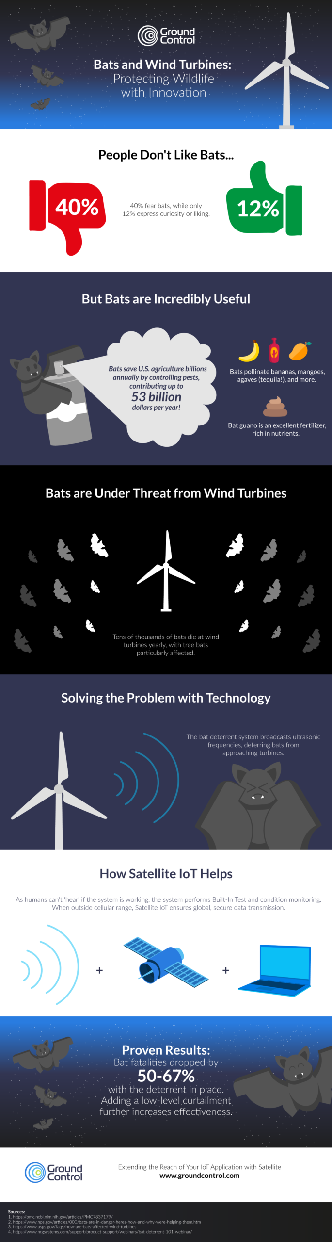
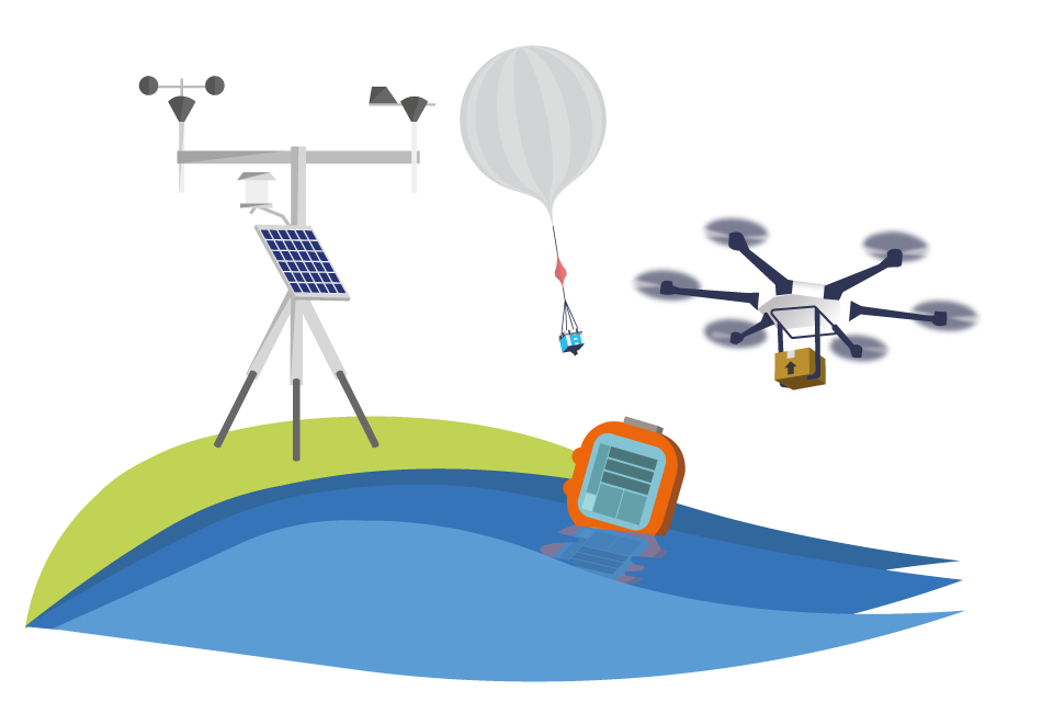
Small aviation operations—flight schools, tourist flights, and private fleets—often venture into areas where communication can be a challenge. Pilots need reliable tools to ensure safety, track their progress, and communicate effectively, even in remote regions. Yet, many still rely on cell phones or satellite phones for these critical tasks, despite their limitations.
Here’s why a dedicated satellite tracking device isn’t just a convenience—it’s a necessity that can save lives.
We asked 138 aviators who variously pilot helicopters (30%), gliders (18%), light aircraft (43%), cargo aircraft (25%) or military aircraft (15%) what, if anything, they were using to track their flights.
67% of respondents said they utilized the GPS on their cell phone; 34% had a satellite phone, and 33% had a dedicated satellite tracking device for this purpose (respondents were allowed to pick more than one answer).
While this didn’t come as a huge surprise, there are drawbacks of relying on cell phones. Coverage can be spotty, due to both the altitude and the remote locations visited, and also due to weather conditions. Cell phone service can be negatively affected by storms, wind, rain and even simply cloud cover (source).
Satellite phones are generally less affected by weather, and don’t suffer from coverage issues; they are, however, designed primarily for voice communication, and have none of the specialized features that pilots can benefit from with a dedicated aviation tracking solution.
We asked the same group what they valued most in a tracking solution, and, aggregating ‘essential’ and ‘nice to have’, the results were:
- 91% – Location alerts (moving in and out of geofences, stop/start etc.)
- 88% – Mission reports (e.g. mission ID, asset details, route, crew, cargo etc.)
- 87% – Real-time tracking
- 86% – Distress notifications and escalations
- 85% – Two-way messaging
- 83% – Electronic flight bag*
So there is widespread consensus of the value of aviation tracking, but as seen above, only a third of respondents had a dedicated solution for this.
*Advanced messaging including transmission of flight manifest, weight, balance etc.
Why Dedicated Satellite Tracking Devices Excel
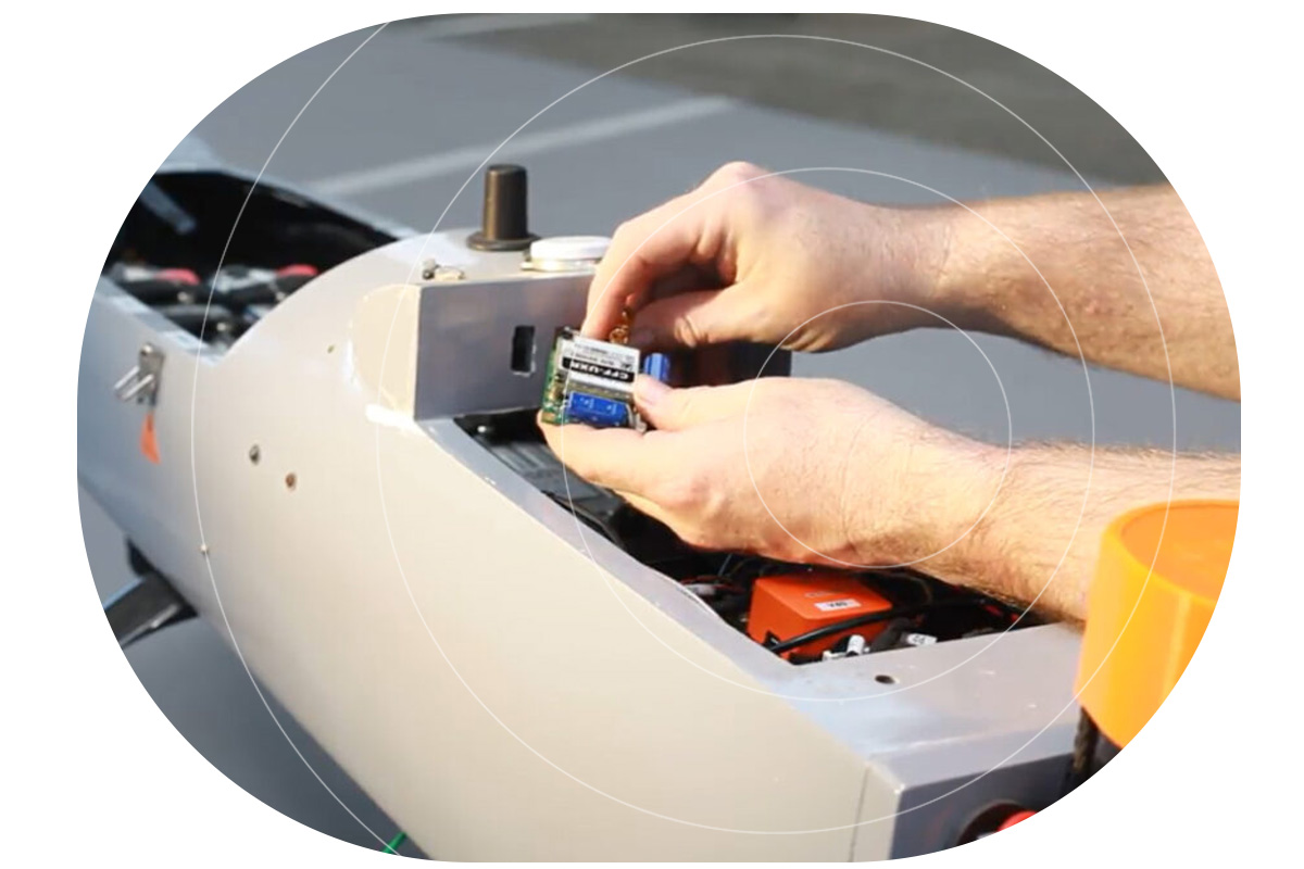
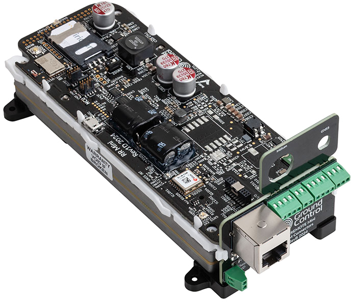
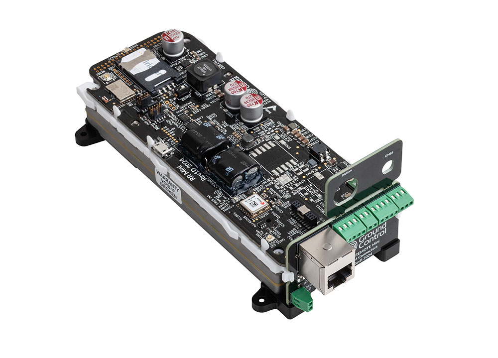
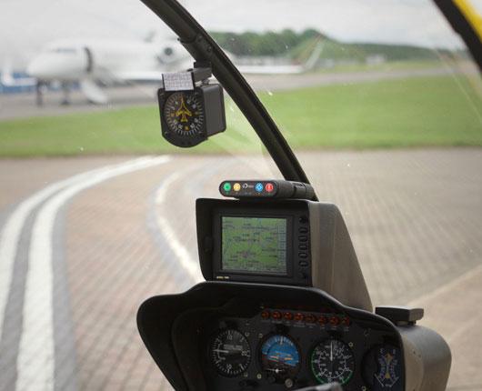
Dedicated satellite tracking devices, like the RockAIR, are purpose-built for aviation. Here’s what sets them apart:

Aviation-Specific Features
- Altitude Recording: Provides critical data unique to aviation, unlike general-purpose devices
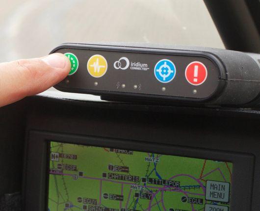
- Emergency Response: Distress notifications and escalation processes to ensure swift action when every second counts
- Location Alerts: Track movement in and out of geofenced areas or detect when a plane has stopped unexpectedly.
Reliability in Critical Moments
- Real-Time Tracking: Enables precise monitoring of flight paths, crucial for safety and coordination
- Mission Reports: Record mission details such as route, crew, and cargo - helpful for operational efficiency and compliance
- Two-Way Messaging: Communicate instantly, even in areas with no cell coverage.
Designed to Last
- Long Battery Life: Far exceeds that of cell phones or satellite phones, ensuring uninterrupted service
- Durability: Built to withstand extreme conditions, including potential crashes, ensuring operability when it’s needed most.
A Real-Life Lifesaving Story
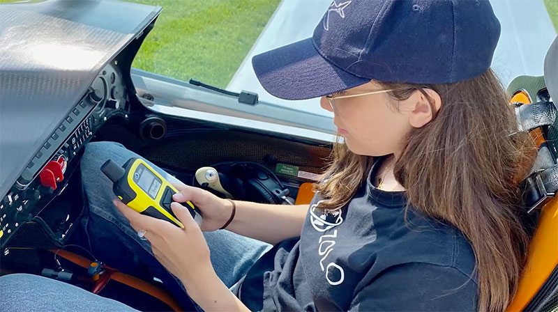
The value of dedicated tracking devices isn’t theoretical—it’s proven. British pilot Sam Rutherford was flying in the Canadian wilderness when a crash left him stranded in freezing temperatures. Despite the dire situation, he managed to send a location-based message using his RockSTAR device. This timely communication enabled rescuers to locate and save him.
Without a dedicated satellite tracking device, Sam’s story might have ended very differently.
Key Use Cases in Small Aviation
Flight Schools
Tourist Flights
Small Private Fleets
Why Not Cell Phones or Satellite Phones?
While cell phones and satellite phones play a role in communication, they fall short in critical ways:
|
Cell Phones |
Satellite Phones |
Satellite Tracking Devices |
|
|
Altitude Recording |
|
|
|
|
Real-Time Tracking |
|
*Some Models |
|
|
Distress Notifications |
|
*Some Models |
|
|
Battery Life |
Low |
Medium |
High |
|
Durability |
Low |
Medium |
High |
Dedicated satellite tracking devices stand out as the only option that checks every box for aviation safety and reliability.
Flying with a dedicated satellite tracking device is more than a practical choice—it’s a lifesaving decision. From real-time tracking to emergency response, these devices are purpose-built to meet the demands of small aviation.

Can we help?
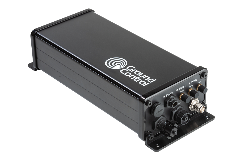
Don’t leave safety up in the air. Discover the RockSTAR, RockAIR, and other Ground Control solutions to ensure your operations are as safe and efficient as possible.
Contact us by completing the form, or emailing hello@groundcontrol.com; we’ll respond to your inquiry within one working day.