GPS is so embedded in modern defense operations, commercial shipping, and aviation that it often fades into the background. It is assumed to be constant, accurate, and available, but GPS is not always guaranteed. It can be denied, degraded, jammed, or spoofed, and when that happens, the consequences are rarely limited to navigation problems; the expense can also be paramount.
Globally, over the last few years, there has been an alarming rise in deliberate GPS jamming and spoofing incidents. In 2024, over 1,000 commercial flights a day were affected by GPS spoofing, and in the Baltic Sea and Gulf of Finland, reports of jamming and spoofing incidents in 2025 increased by 127% in a three-month period.
In August 2025, the aircraft carrying European Commission President Ursula von der Leyen experienced GPS jamming over Bulgaria and required backup navigation to land safely. Subsequently, a joint statement from the International Maritime Organization (IMO), International Civil Aviation Organization (ICAO), and the International Telecommunication Union (ITU) warned about harmful interference, including jamming and spoofing, and called for action by Member States to strengthen the resilience of navigation, positioning, and timing systems.
As GNSS and GPS jamming and spoofing become more prevalent, organizations are increasingly operating blind and exposed to cascading costs relating to service disruption, safety hazards, regulatory non-compliance and reputational damage. This has accelerated the case for Assured Positioning, Navigation and Timing (A-PNT), a resilient, layered approach to sustaining trusted timing and positioning when GPS is disrupted. A-PNT can combine multiple independent sources and techniques (satellite, terrestrial, and onboard) to preserve continuity and confidence. Without A-PNT, organizations don’t just lose a signal, they lose confidence, and when confidence disappears, operations slow, costs increase, schedules unravel, and risk rises.
This blog examines the impact of GPS denial, its associated financial implications, and why A-PNT is increasingly viewed as an essential tool for military and defense users, merchant fleets, and aviators who need to maintain safe and predictable movements even when GPS is unavailable.
Uncertainty is a Cost Center
The business case for A-PNT becomes clear when you treat GPS denial as a cost center. Every minute spent slowing down, verifying, rerouting, holding, or diverting is money. Every missed slot, aborted mission, or extended transit is money. Every safety incident, near miss, or compliance failure can be catastrophic in terms of money. If a military unit has to slow or hold position while verifying navigation integrity, it may be exposed longer than planned.
If a merchant ship loses reliable position awareness, it may reroute unnecessarily, increasing transit time and risk. If an unmanned system can’t maintain navigation confidence, it may be pulled from the mission entirely. Every one of these outcomes has a financial expression, whether that’s wasted flight hours, increased maintenance burden, higher fuel usage, or the opportunity cost of assets not being where they need to be. A-PNT reduces these losses by keeping operations predictable under pressure.
Impact of GNSS Degradation in Unmanned Operations
For unmanned operators, GNSS loss or manipulation can translate into constraints and costs within minutes, because GNSS often underpins not just navigation, but also autonomy behaviors (e.g., route keeping, loiter/hold, return to home logic), geofencing and time synchronised data capture. As interference has risen in multiple regions, aviation and maritime safety bodies have issued increasingly prominent warnings about GNSS jamming/spoofing and the need to plan for disrupted environments.
When GNSS is degraded or unavailable, unmanned systems typically shift into more conservative modes: tighter operating areas, lower speeds, increased standoff distances, more manual oversight, or mission aborts. In UAV operations, especially BVLOS and infrastructure / corridor missions, GNSS degradation can also force a reversion to non-GNSS navigation sources (inertial, vision, map matching, etc.) and raise integrity management requirements, because the problem isn’t only position error, it’s whether the system can trust its own PNT well enough to continue safely.
The cost stack for unmanned operations then shows up as lost mission time, rescheduling and re-flight costs, additional personnel oversight, payload / data re-collection, and, at the sharp end, asset loss or third party risk if interference causes navigation faults. In maritime-adjacent unmanned work (USVs and vessels supporting unmanned operations), the same GNSS interference trend is being treated as a growing safety risk, with advisories urging operators to anticipate disruption, report incidents, and implement mitigations.
In time sensitive logistics and security contexts, the margin for error tightens further. Small GNSS-driven slips can break delivery windows, compromise chain of custody or data integrity, and degrade service-level commitments, while in defence and critical infrastructure missions, GNSS degradation becomes a mission assurance and deconfliction risk in contested or degraded environments. That’s why the case for layered A-PNT resilience is strengthening across unmanned platforms: not as a single replacement signal, but as an architecture that preserves confidence through diversity, detection, and graceful degradation.
The Price of Losing Trusted Positioning at Sea
For shipping and merchant fleets, predictable timing is often as valuable as speed. But the most damaging failure mode isn’t always GPS disappears; it’s when crews can’t trust position, course, or time because GNSS is being jammed or spoofed. Industry and security advisories have highlighted corroborated reports of GPS interference affecting vessels in key waterways, including the Strait of Hormuz, and recommend mitigations for navigation planning.
When GNSS integrity is in doubt, ships don’t simply carry on as normal: operators typically respond by increasing watchkeeping, leaning harder on radar and visual fixes, slowing down, widening margins, delaying pilotage/approaches, and sometimes holding or anchoring until confidence returns.
In mid June 2025, reporting and analysis around the Strait of Hormuz described widespread GPS interference and its safety implications, including a high profile collision where erratic positioning signals were observed beforehand and experts suspected jamming/spoofing as a contributing factor (even if causality remains under investigation).
Operational disruption like this cascades quickly into cost: missed berth windows, re-booking and port side fees, delayed cargo availability, and schedule breakage across liner and charterparty commitments. At the same time, GNSS interference elevates high severity safety risk – groundings, collisions, cargo damage – where a single incident can dwarf the costs of multiple disrupted transits.
A single collision or contact event driven by GNSS interference can expose shipowners to major third party liabilities, from damage to other vessels and port infrastructure, to cargo loss, pollution response, medical and repatriation costs, and legal defense. These liabilities are typically handled through Protection & Indemnity (P&I) insurance; the mutual liability cover marine operators carry to protect against such claims.
But in a GPS-denied incident, the challenge is not only the size of the exposure, it’s the evidentiary uncertainty. P&I outcomes and recoveries can hinge on being able to demonstrate where the vessel was, what maneuvers were made, and whether it complied with COLREGs, local routing requirements, and port directions at the time of the event. If GNSS interference corrupts, removes, or calls into question the position record, investigations can become slower and more contested, fault can be harder to rebut, and legal costs can escalate, delaying settlement and, in some cases, reducing recoveries.
Beyond P&I liability, GNSS disruption can also show up in war risk pricing, because the same contested corridors where kinetic threats rise are often the places where electronic warfare (including GNSS jamming and spoofing) is part of the operating picture. In the London market, the Joint War Committee (JWC) publishes Listed Areas of perceived enhanced risk, which can trigger additional premium requirements depending on cover and voyage. In periods of heightened Red Sea risk, reported additional war risk pricing rose sharply, moving from low fractions of hull value to figures around the 0.5%-0.7% range by late 2023, with some quotes reported as high as ~1% in peak conditions. For a high-value vessel, that translates into hundreds of thousands to over a million dollars for a single transit before knock on costs are counted.
That’s why A-PNT isn’t just a technical upgrade; it’s a mission/operations enabler. The goal is to retain a trusted position and timing solution even when GNSS is denied, jammed, or spoofed, so crews and operators can keep moving safely with managed risk, rather than defaulting to delay, disruption, or avoidable exposure when the RF environment turns hostile.
Reputation Cost
There’s also a reputational dimension that doesn’t often present itself as a cost center for the cost of GPS denial. Defense organizations are measured by readiness and reliability, commercial fleets are measured by service performance and operational professionalism, and aviation operators are measured by safety and predictability. When GPS denial causes repeated disruptions, customers, partners, and leadership can begin to ask harder questions. The organizations that can demonstrate resilience; the ones that can say “GPS went down and we continued safely and predictably”, are the ones that win trust and contracts.
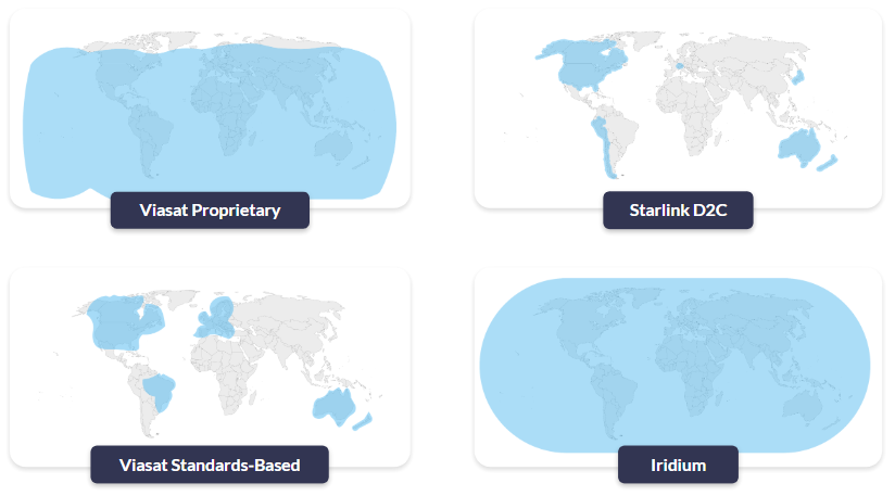
Resilience Through an Alternative Satellite Network
Iridium PNT delivers a key advantage in degraded GPS environments, chiefly due to signal strength at the receiver. Because the Iridium constellation operates in Low Earth Orbit (LEO) – roughly 25× closer than GNSS satellites in Medium Earth Orbit (MEO) – its downlink can be received at ground level at around 1,000 times (≈30 dB) stronger than traditional GNSS signals.
That higher received power materially improves resilience in the real world: it raises the bar for interference, supports operation in more obstructed environments, and helps sustain trusted timing and position when GNSS is being jammed or manipulated. It complements GPS / GNSS as part of a layered A-PNT approach, restoring operational confidence by providing an independent, authenticated PNT path when GNSS integrity can’t be assumed.
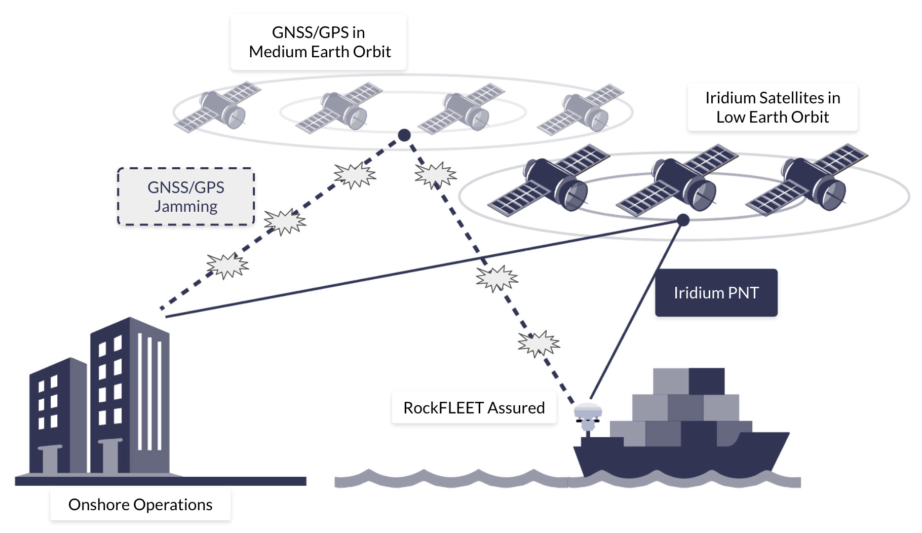
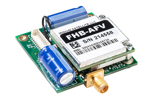
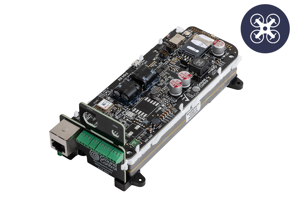
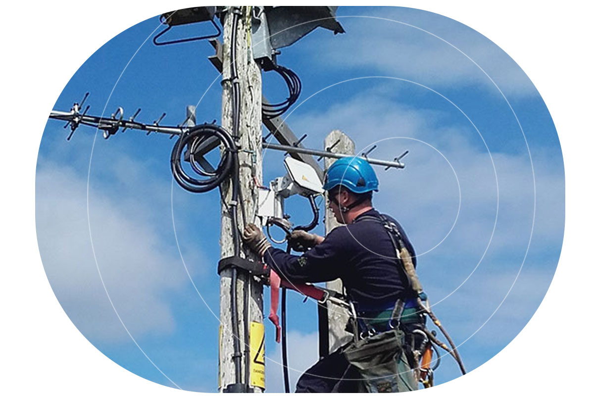
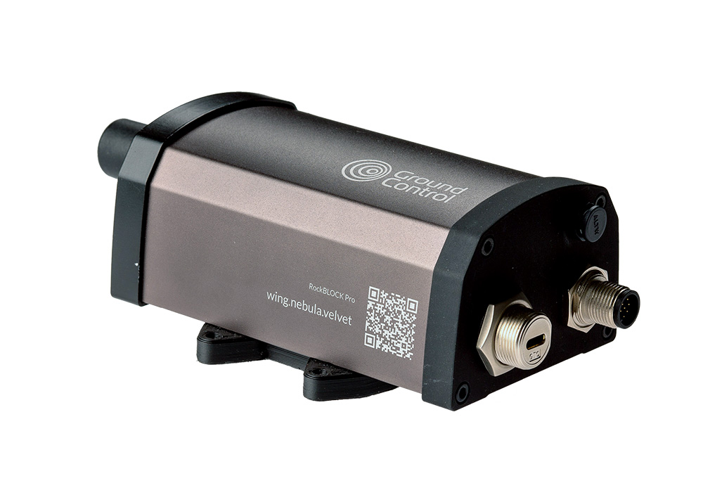
For organizations that require positioning, navigation and timing solutions that can be deployed quickly, the RockBLOCK APNT and RockFLEET Assured devices provide a path to delivering a resilient solution by encapsulating Iridium PNT, without redesigning an entire platform. The devices are built around the reality that fleets and squadrons don’t have the luxury of multi-year integration timelines when the threat – and cost – of GPS jamming, spoofing and denial is already here.
A-PNT for Vehicles & Drones
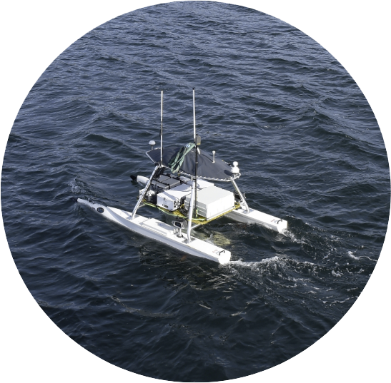
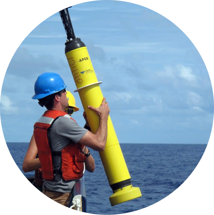
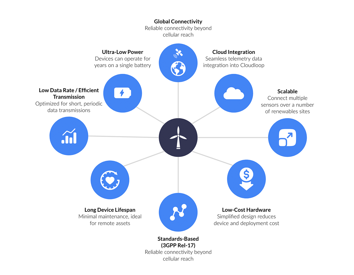
RockBLOCK APNT is a rugged, self-contained satellite device that leverages Iridium PNT signals to deliver resilient positioning, navigation, and timing. Its form factor is well suited to mounted vehicle platforms, unmanned systems, and mobile assets where trusted position and timing are mission critical.
Housed in a compact, IP66-rated aluminum enclosure, RockBLOCK APNT is engineered to withstand harsh operational conditions across land and aerial deployments. Its low power consumption (under 200 mW idle) makes it suitable for persistent, remote, or battery powered platforms, including unmanned ground and aerial vehicles.
By combining a robust physical design with Iridium’s globally available, authenticated signals, RockBLOCK APNT helps maintain navigational integrity and timing continuity even when GPS cannot be trusted.
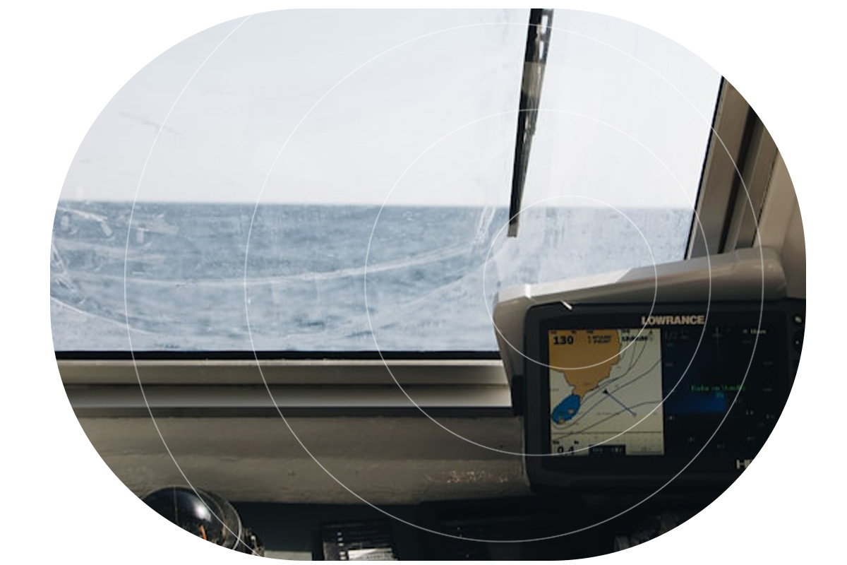
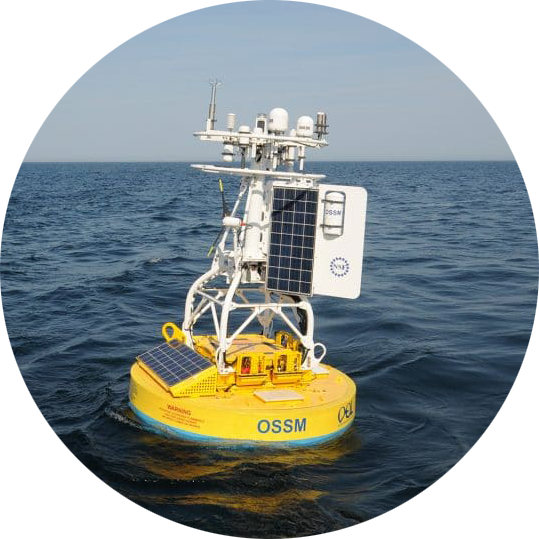
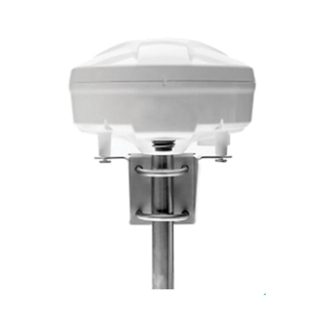
A-PNT for Maritime
RockFLEET Assured integrates Iridium’s PNT service into a rugged, compact maritime solution designed to perform under real world navigational stress. Instead of relying solely on open GNSS signals, RockFLEET Assured outputs A-PNT-derived position and time in standard NMEA format, with configurable integrity monitoring and time difference checks to help identify anomalous conditions, supporting operations with more trustworthy navigation data when GNSS can’t be relied upon.
Commercial ships transiting spoofing hotspots can maintain position awareness even as GNSS degrades, supporting safe and confident bridge operations. Naval platforms operating in electronic warfare environments retain the dependable timing and navigation required for mission coordination. And because integrity is monitored and anomalies are flagged, operators can respond early – before bad PNT propagates into bad decisions.
Protecting Time, Revenue, and Reputation
Organizations often underestimate the financial impact of GPS denial because it is rarely captured as a single line item or cost center. Instead, it appears as scattered costs that add up rapidly: additional fuel consumption, extra days at sea, schedule recovery actions, personnel overtime, unplanned port charges, and operational inefficiencies that ripple through multiple departments.
A-PNT is the difference between navigating uncertainty and being governed by it. It reduces the financial impact of delays caused by GPS denial, protects schedules from such cascading disruption, and strengthens safety margins in environments where navigation integrity cannot be assumed.
RockBLOCK APNT and RockFLEET Assured are rugged, reliable, and deployable A-PNT solutions that support continuity of operations by enabling resilient PNT in the field and at sea. For commercial shipping operators, this means more stable ETAs, reduced exposure to costly port and network disruptions and lower AWRPs. For defense operators, it means maintaining tempo, reducing mission risk, and preserving synchronization across assets and units. For drone operators, it means improved navigation integrity in degraded environments and fewer operational compromises when GPS is unreliable. RockBLOCK APNT and RockFLEET Assured exist for the moments when GPS goes dark and the mission, schedule, or flight still has to continue.

Trusted A-PNT Expertise To Reduce The Cost Of GPS Denial
Ground Control brings more than 20 years of experience delivering resilient satellite solutions for unmanned, maritime and critical communications. We understand that no two vessels, convoys, or operating environments are the same, which is why we provide expert guidance on deploying the right mix of A-PNT capabilities and reliable satellite connectivity options to ensure trusted positioning, navigation, and timing anywhere in the world.
Complete the form, or email hello@groundcontrol.com and we’ll reply within one working day.