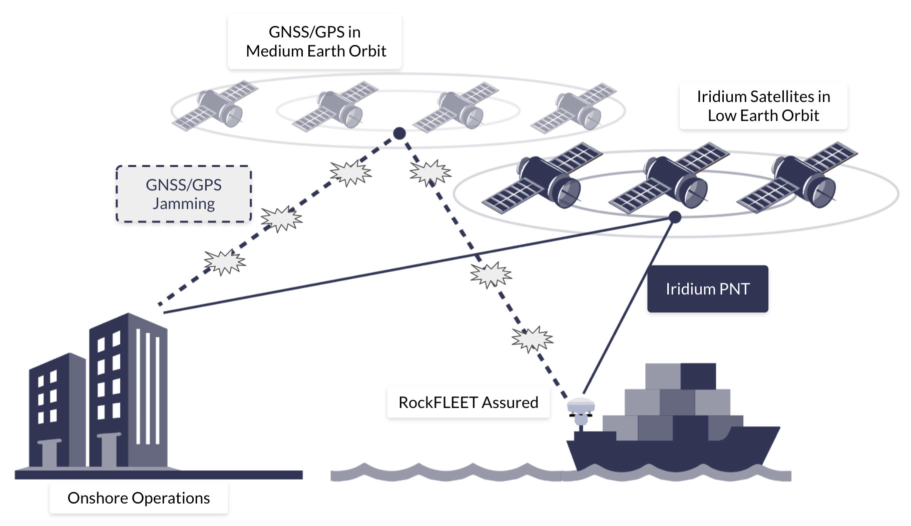
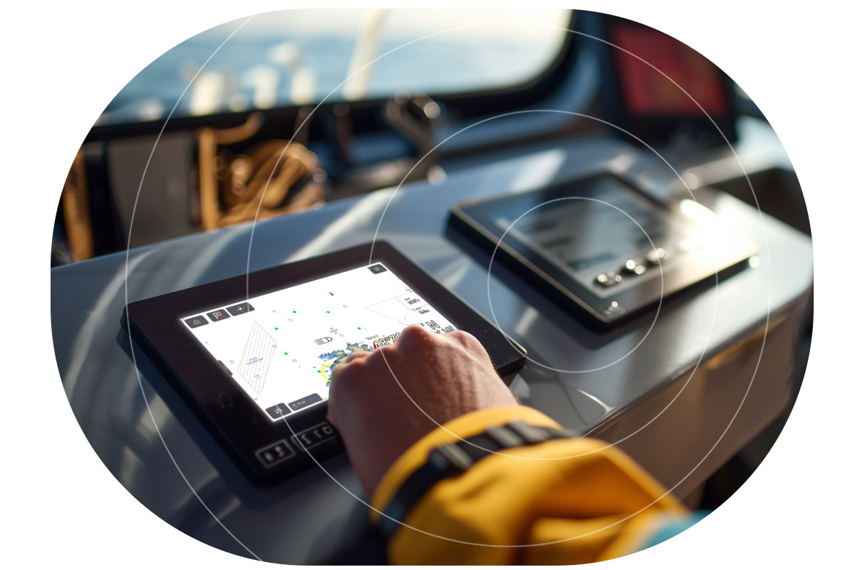
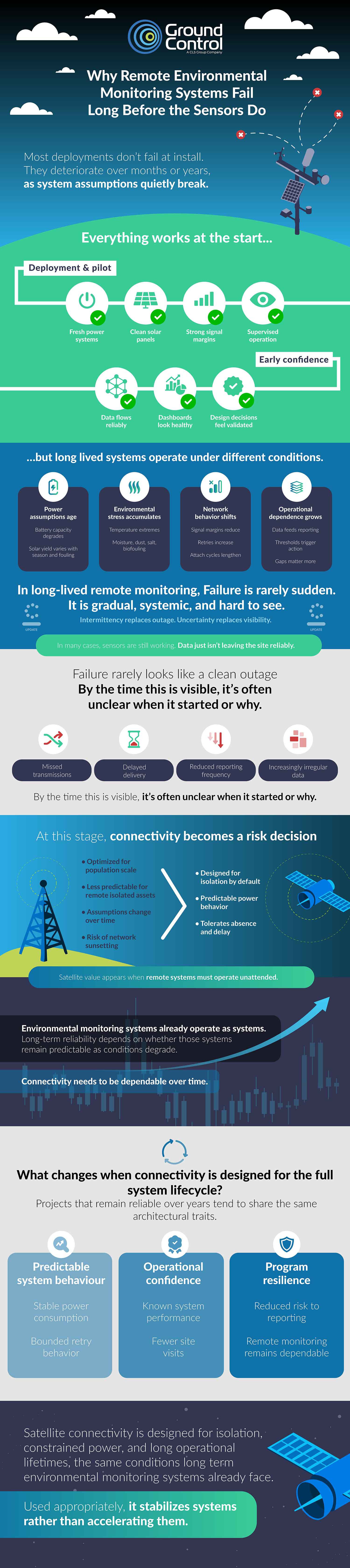
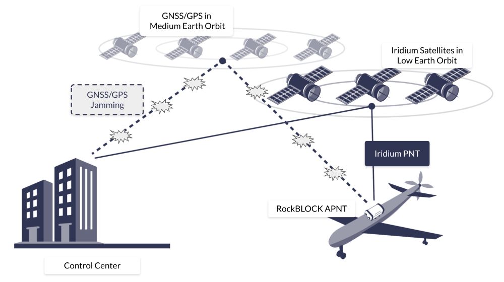
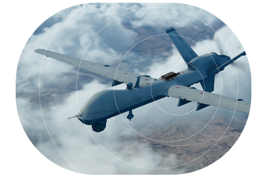
Maritime, aviation, and defense operations all depend on GPS for positioning, navigation, and timing. But, as our infographic highlights, that dependence comes with real risk: GPS is vulnerable to jamming and spoofing, and relying on it alone creates a single point of failure.
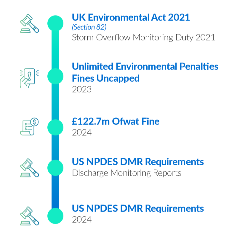
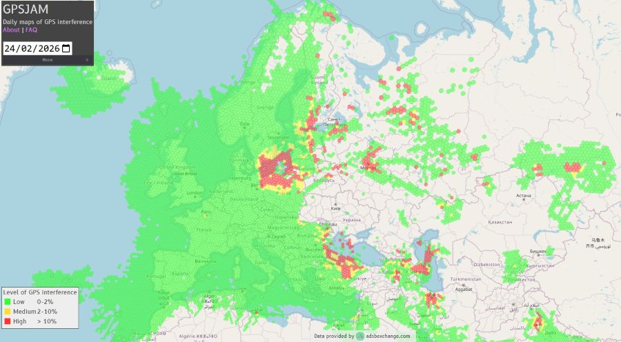
That risk is becoming harder to manage. Reported interference incidents continue to rise across key regions, including a 127% rise in Baltic incidents between Q1 and Q2 2025, more than 1,000 vessels affected in Sudan and the Red Sea in 2025, and 5,655 flights spoofed in the Nicosia FIR in July to August 2024.
Why Modern GPS Threats Demand More Than Anti-Jamming
For a long time, disruption was often discussed mainly as a jamming problem. However, attack methods evolve, and disruption can now shift rapidly between jamming and spoofing. These are not the same threat; jamming tries to deny the signal, whereas spoofing tries to deceive the receiver. A solution that focuses only on anti-jamming may still struggle when an attack alternates between blocking the signal and imitating it.
That’s why resilience has to be about more than signal protection alone. It has to be about maintaining a trusted source of positioning even when GNSS is disrupted, denied, or manipulated.
What A-PNT actually means
A-PNT is best understood as a resilience approach, not a single technology. As the infographic sets out, it adds redundancy, position cross checking, trusted timing, and operational continuity when GNSS alone cannot be relied on. A-PNT isn’t “one new signal replacing GPS”; it’s a broader strategy for reducing dependence on a single vulnerable source.
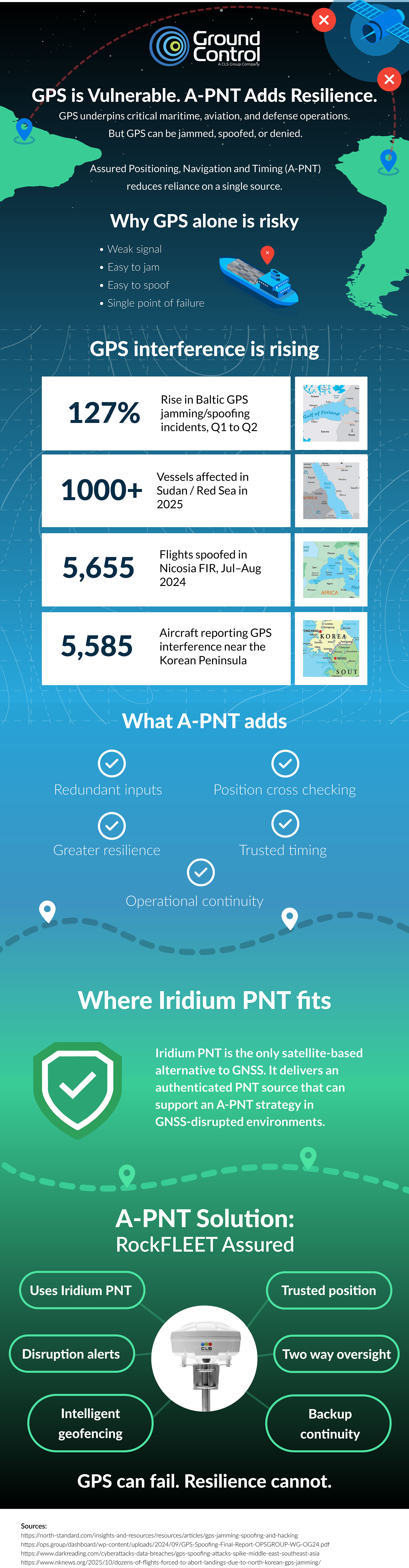
Where Iridium PNT fits
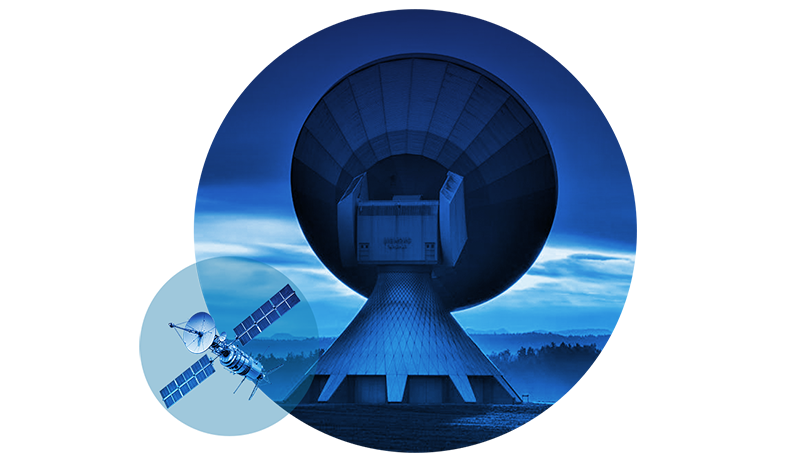
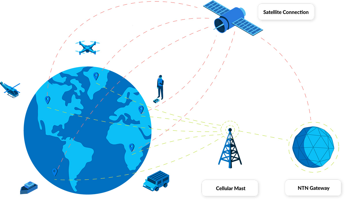
Iridium PNT supports a broader A-PNT strategy by providing a completely separate source of PNT, with zero dependence on GPS. That independence is critical. If a backup still depends on GNSS somewhere in the chain, it may inherit the same vulnerability. Iridium PNT operates as a wholly separate system, giving operators an independent source they can use when GNSS is disrupted or cannot be trusted.
It also brings a major security advantage: the signal is encrypted and authenticated. In practical terms, that makes spoofing exceptionally difficult, because the receiver is not simply accepting any signal that appears plausible; it’s validating a trusted source.
Why that matters operationally
In the real world, navigation resilience is defined by whether a system continues to deliver trusted data under pressure. That means operators need more than a warning that GNSS has been compromised. They need:
- An independent source of position and timing
- Confidence that the source itself is trusted
- Continuity if infrastructure is damaged
- A solution that works with the systems they already use.
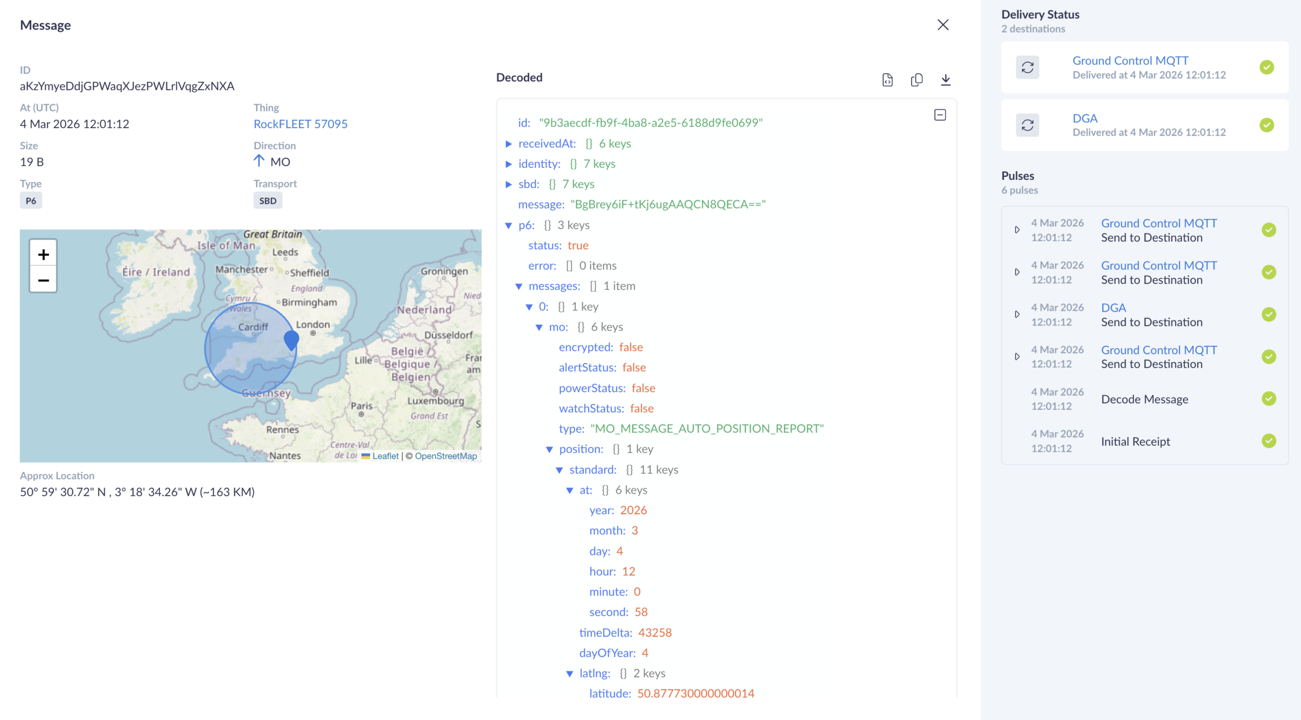
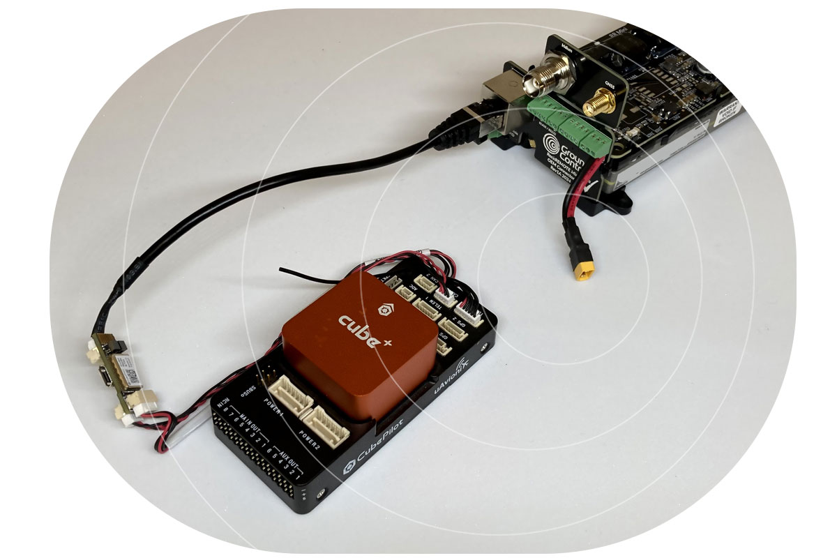
RockFLEET Assured is designed for use in contested and high risk operating environments. Its architecture supports flexible installation, with compute power in the above-deck unit and cable runs of up to 100 meters. That means the unit can be installed away from the bridge in a discreet location, making it harder to identify, harder to interfere with, and harder to damage deliberately.
If a cable is cut or a unit is attacked, what matters next is whether visibility disappears immediately. RockFLEET Assured includes backup battery capability, allowing continued transmission for a period even after cable loss. That additional continuity can matter enormously in a live incident. Even limited continued reporting can preserve situational awareness, support response, and reduce the risk of going blind at the worst possible moment.
Another key strength is flexibility. RockFLEET Assured can be used with our chartplotter, with a customer’s own chartplotter, or integrated into wider bridge systems. That gives operators multiple options to adopt resilient PNT capability without being forced into a rigid operational model. For many customers, the easier a resilient system is to integrate into existing workflows, the more likely it is to be deployed effectively and trusted by crews.
GPS still plays a vital role, but it is no longer enough on its own
As jamming and spoofing attacks become more sophisticated, more deceptive, and more hostile, operators need more than detection. They need trusted alternatives, genuine independence from GNSS, interoperability with existing systems, and resilience that holds up in the real world.
A-PNT helps by reducing dependence on one vulnerable source. Iridium PNT strengthens that approach by providing an encrypted, authenticated, wholly separate, satellite-based PNT capability, and RockFLEET Assured makes that capability operationally useful: survivable, flexible, interoperable, and built for continuity under pressure. That is what modern navigational resilience looks like.

Talk to us about resilience in practice
To explore how RockFLEET Assured can strengthen navigation resilience in your existing bridge environment, get in touch with our team.
Complete the form, or email hello@groundcontrol.com, and we will respond within one working day.