Operating out of the École Polytechnique Fédérale de Lausanne, Octanis is a 30-member strong not-for-profit student/alumni association focused on enabling rapid prototyping locally. Anyone interested in sciences, engineering, or making can become a member.
It was the need for a low-cost, minimal environmental impact platform for scientific experiments in extremely cold temperatures, that led the association to develop the Octanis Rover.
The rover was designed to be weatherproof, cold-resistant, and lightweight, while robust enough to complete a multi-month mission autonomously. From November 2016 to January 2017, Octanis successfully field-tested the rover in Antarctica on a research mission to create a map of the snow surface using the rover’s low-cost laser scanner.
Using differential GPS (dGPS), stereo cameras, and LIDAR, an operator in the field chose waypoints for the rover’s goal-to-goal navigation. At the same time, its internal and external sensors would regularly gather and transmit telemetry back to a nearby field base station via LoRa radio.
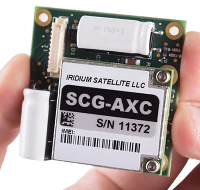
At the station, the mission’s waypoints and sensor telemetry were transmitted via RockBLOCK back to Switzerland, allowing the research team to see how the Octanis rover was operating and to ascertain whether its sensors were producing good data.

All Octanis software and hardware has been specifically chosen to adhere to the principles of the open source movement, and the RockBLOCK is no exception. The publicly available Rock Seven (now trading as Ground Control) API allows users to deliver messages from RockBLOCKs directly to their own application’s web service or e-mail, and to send messages or commands back to RockBLOCKs in the field.