The importance of asset tracking
In today’s connected world, asset trackers have become an essential tool for businesses to enable effective monitoring and management of their assets across the globe. Whether you’re running a logistics company, managing a fleet of vehicles, or overseeing a construction project, having real-time visibility and control over your assets is essential.
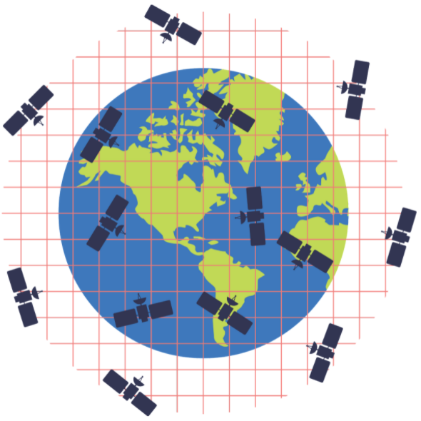
Terrestrial asset tracking via BLE, WiFi, LPWAN and cellular has numerous benefits but is not without its drawbacks and limitations. In scenarios where assets operate in remote areas or face signal interruptions, as is often the case in mining, forestry and sea freight, for example, satellite asset tracking becomes essential to ensure uninterrupted monitoring and prevent downtime.
In contrast to terrestrial services, satellite asset tracking provides reliable coverage and continuous visibility from anywhere on the planet with a clear view of the sky; there’s no dependency on proximity to mobile phone masts. This makes it indispensable for applications where reliable asset monitoring is paramount, such as in the case of construction equipment or specialized machinery, where even slight discrepancies in location can have significant consequences. However, with a wide range of solutions available in the market, selecting the optimum satellite device for business and operational needs can be a challenge. Considerations such as coverage, data speed, battery life, accuracy, and cost will ultimately guide buyers’ decisions.
Whether you need real-time tracking or periodic updates, selecting the right device will ensure effective asset management and operational optimization. Using our guide about how to choose the right satellite enabled device will ensure you make the right asset tracker choice. Be sure to consider the key five criteria outlined here.
Choosing the right satellite device for asset tracking
1. Assess your needs
Before determining the asset tracking device required, it’s crucial to understand what needs to be achieved by the tracking solution. Considering the types of assets that need to be tracked – such as vessels at sea, a remote workforce, or aircraft – the geographical areas the assets will be located in, and the level of tracking accuracy required are just three considerations to make.
Another crucial factor to consider is the level of tracking accuracy required. Some applications demand real-time and precise location updates, such as high-value shipments or sensitive equipment. In such cases, a device that offers high accuracy and frequent data transmission will be essential. On the other hand, if periodic location updates are sufficient, a device with longer battery life and less frequent data transmission would be more suitable.
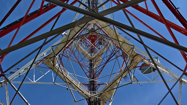
2. Evaluate coverage options
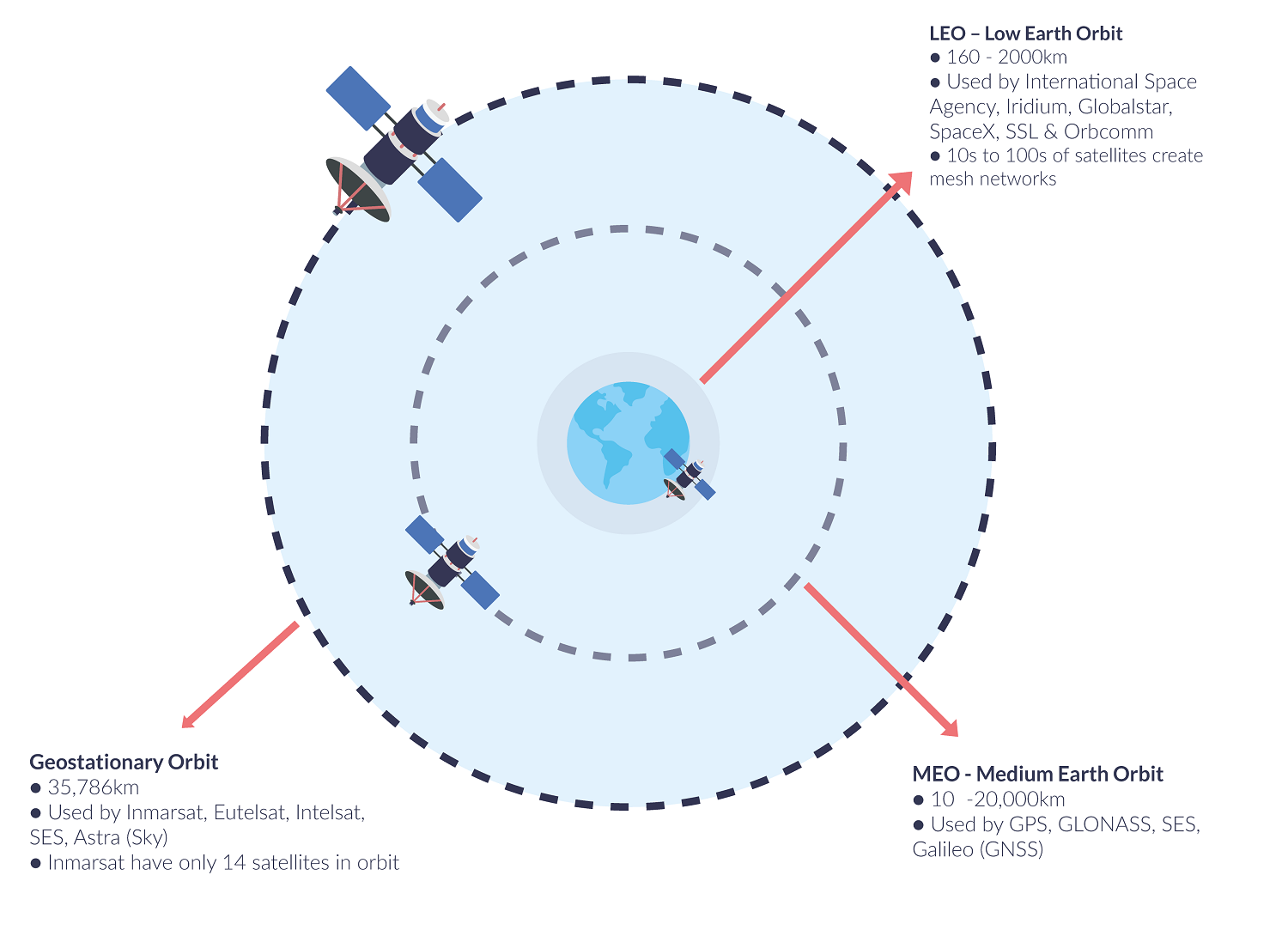
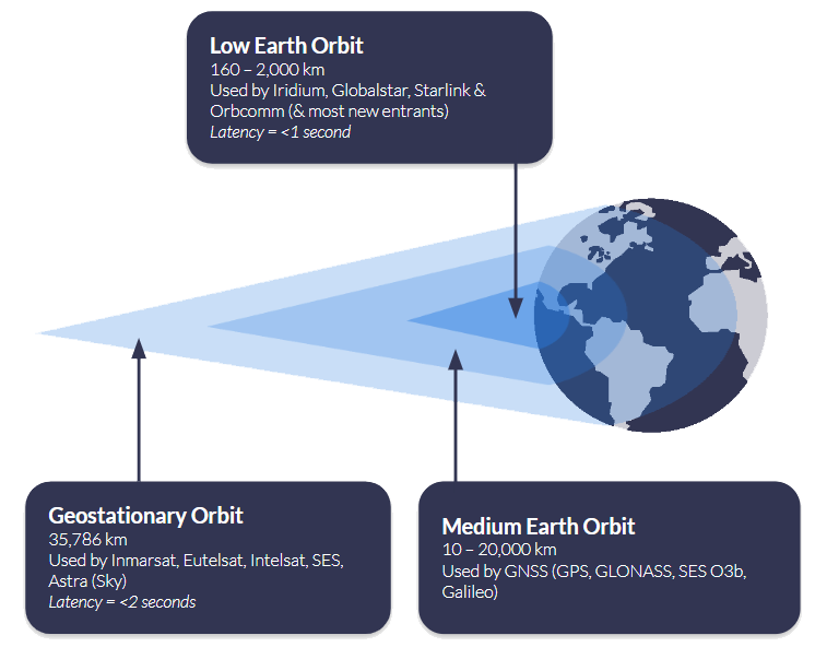
Armed with a clear view of your essential requirements, your next consideration when choosing a satellite asset tracking device is coverage. A satellite network operator’s coverage depends on the number of satellites they have in orbit, and the height of those satellites relative to the Earth.
It’s certainly not the case that all satellite operators offer 100% global coverage, and you should check carefully to ensure that the tracking device you’re looking at has good, stable coverage in every region your asset operates in.
Iridium offers complete global coverage; Viasat covers most of the globe, but service degrades towards the polar regions. Globalstar works well in the Americas, Western Europe and much of the Asia-Pacific region.
Use our coverage maps to view the different satellite networks and select a network that ensures seamless connectivity for your assets, regardless of their location.
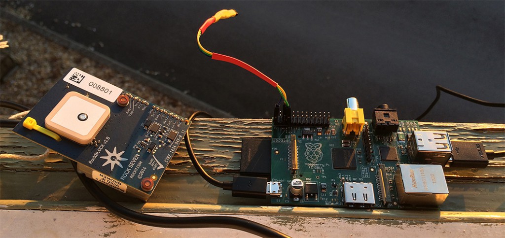
3. Battery life and power management
Many tracking devices use your vehicle’s electrical system as their principle power source, connected via 9-30v input or USB; cars, trucks, boats, aircraft etc. If this applies to you, you’ll have a wide choice of devices and don’t need to be particularly concerned with the power draw, even if you’re transmitting a location signal very regularly.
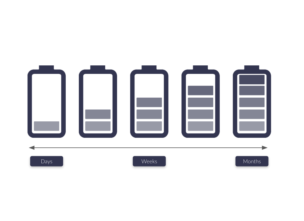
However, for assets that have limited access to power sources, extended battery life is essential. Satellite asset trackers consume power to transmit location data, and their battery life can vary significantly depending on the device and usage frequency. If real-time tracking and monitoring are required, buyers should opt for devices with longer battery lives, solar power options or power-saving features. Alternatively, if reporting only on exception or low-frequency updates is sufficient, there are tracking devices available with extended battery life lasting weeks or even months.
4. Data accuracy, speed and management
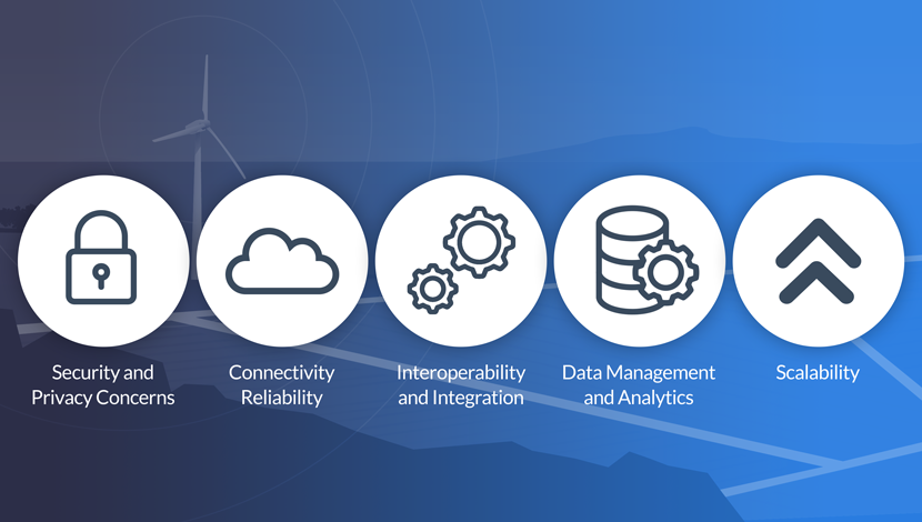
It goes without saying that frequent and fast data transmission enables more precise asset tracking. Knowing the location and status of your assets in close to real time helps you make informed decisions, optimize logistics, and provide reliable information to customers or stakeholders. That said, data points always require context to be meaningful.
So, a robust satellite asset tracking solution should not only provide accurate, real-time location information but also deliver data management capabilities. Cloudloop is Ground Control’s cloud-based platform for subscription and device management, and, new for 2023, device tracking. There are a number of key tracking features of the platform, including:
- Real-time visibility of your assets, with multiple mapping options
- View the location, speed and heading of your assets, wherever they are on the planet
- Instant notifications of driver-issued alerts
- Historical position reporting and device events.
5. Cost and scalability
As well as the upfront costs, when selecting a tracker, it’s important to consider ongoing airtime and/or service charges. There are various pricing models available, from pay-as-you-go where you top up your device’s airtime as needed; monthly fixed payments based on your estimated usage; or post-pay invoicing based on actual usage (note: while this sounds appealing, they’re often more expensive than having a monthly fixed payment).
You can also pay per asset, or in some cases, use ‘pooled’ data so that all assets are drawing from the same data allowance (this gives you flexibility if assets’ tracking requirements change week on week, or month on month, while still having a fixed monthly payment).
Ground Control offers very flexible pricing models, and is competitive on airtime too. Our most popular tracking airtime services include Iridium Short Burst Data (SBD) and Viasat IoT Pro.

Ready to select your asset tracking device?
Having partnered with satellite network providers such as Iridium and Inmarsat for well over a decade, we have access to competitively priced tariffs, and can also be very flexible in terms of bundled data – saving you money.
So if you are working on upgrading your existing solution, or tracking your assets for the first time and would like some no pressure, objective advice, simply fill in the form and one of our expert team will get back to you.