The natural disaster detection IoT market is projected to grow from $6.6bn in 2023 to $37.3bn by 2030, at a Compound Annual Growth Rate (CAGR) of 27.85%, according to 360iResearch.
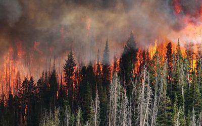
Natural disasters are a growing phenomenon, due to rising temperatures and climate change. IoT has an important role to play in monitoring environments and detecting natural disasters. It can help to warn, and somewhat mitigate the risk to, vulnerable populations, wildlife and commercial centers from events such as earthquakes, landslides, tsunamis, hurricanes, flooding, wildfire and temperature extremeties.
Further, technologies such as Machine Learning (ML) and Artificial Intelligence (AI) are helping to predict, measure and pre-empt environmental change. This minimizes costs both in terms of lives, businesses, and urban infrastructure.
This innovative use of technology will help save lives through preventive measures and early warning systems. But while global warming is – the clue is in the name – a global concern, early detection and data insight isn’t happening at the same rate across the globe.
Worryingly, in the same parts of the globe where early detection is needed most, the data to facilitate this is missing or not being gathered. With the growth of IoT connectivity, all countries should be able to utilize environmental monitoring and disaster recovery data to their advantage, but this isn’t actually the case.
The Problem of Missing Data
The problem of ‘missing data’ forms part of an environment research paper for iopscience. The authors report that data gaps and missing data are commonplace across real world datasets, including global disaster databases. Global disaster databases, and recorded disaster data, are increasingly utilized by decision-makers and researchers to inform disaster mitigation and climate policies. So with significant chunks of data missing, the researchers question the conclusions drawn and the risks of unreliable study results. After all, a reliable evidence base is a prerequisite for effective decision making.
So why is there an inconsistency in the data that is gathered and why are some countries not collecting the data they need? There are numerous reasons cited, including technological limitations in the surveillance of disaster events (which we will explore in more detail here), and factors such as the income status of the affected country, and the types of disaster event that occur. Global databases on environmental extremes, and analysis of their impacts, is largely carried out by research organizations in western nations. This means that there is a bias towards events in these countries. It’s an ‘unnatural disaster’ that some parts of the globe are still not able to monitor and measure the environmental changes that could save lives.
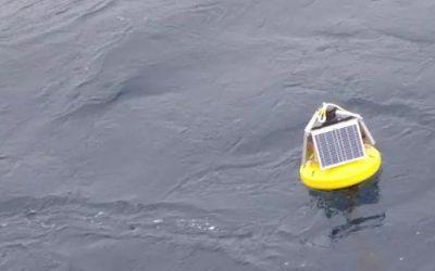
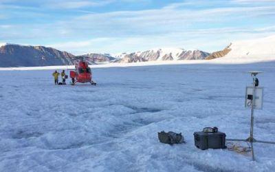
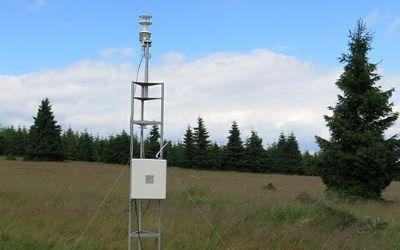
The commercial world is being called upon to build the infrastructure needed to supply NGO, local communities and emergency services with the information they desperately need. Fixed sensors can capture temperature change, rising water levels, earthquake shock readings; drones can monitor volcanic activity and large bodies of water. This information delivers the insight necessary to inform and reduce loss of life.
However, this comes with some significant investment, namely the network infrastructure needed to transmit the data, and ongoing funding – hence there being more complete data sets from countries of higher economic GDP.
If the infrastructure does not exist to support environmental monitoring, or research is inhibited by poor or intermittent cellular connectivity, what can be done? Terrestrial networks are expensive to set up, and vulnerable themselves to natural disasters. As we reported in an earlier blog post, during a prolonged spell of rain in 2022, 1,200 cell towers were impacted in South Africa alone due flooding and landslides.
Many countries and localities are simply not equipped to provide the power or networking to support cellular IoT. Not only is network coverage much lower in least developed countries than in the rest of the world, but mobile data usage can also be significantly more expensive.
Solving the Communications Infrastructure Problem
Satellite IoT can solve the communications infrastructure problem. It provides global connectivity to locations where cellular connectivity is missing or intermittent, enabling the kind of sensor data required for environmental monitoring to be transferred to and from the farthest reaches of the earth. All that’s needed is a satellite transceiver, antenna and clear view of the sky.
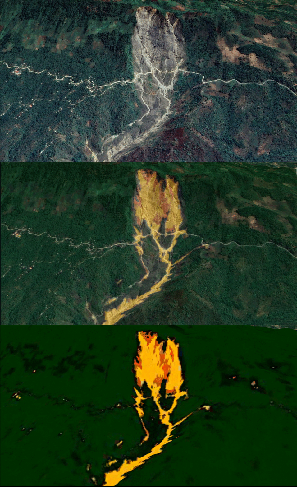
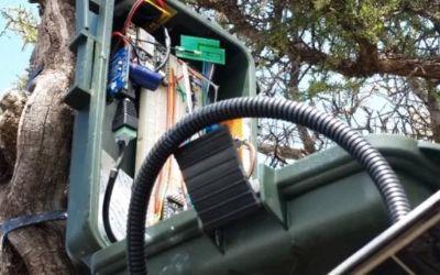
As an example, Slide Sentinel provides a fully automated landslide monitoring system using Real Time Kinematics. This provides early detection and forewarning as well as limiting the use of invasive and expensive landslide monitoring drilling techniques. The system is capable of reliably detecting catastrophic landslides and centimeter movement in land mass and offers valuable information about gradual changes in land soil displacement.
It’s a low-cost solution consisting of a network of remote low power sensors that detect fast linear slides and eventually lower soil movements such as creep. Long range low-power (LoRa) radio connections on these sensor nodes wirelessly transmit three-dimensional acceleration, Real Time Kinematic (RTK) GPS coordinates, and sudden shifts in soil movement to a gateway. This data is backhauled via satellite to the cloud from where it can be exported to anywhere on Earth.
Read more about the Sentinel project and their work in the Pacific West.
It’s not just the connectivity options that can limit research and data gathering. Harsh external conditions can make devices and data capture vulnerable to the elements. No two use cases are the same, and devices used for monitoring and sending data need to withstand temperature, wind and precipitation extremities, as well as the conditions during an actual disaster.
A great example is the work by American Signal Corporation (ASC). The 2004 Indian Ocean earthquake and tsunami (known as the “Boxing Day Tsunami) devastated lives, businesses and homes across SE Asia. An estimated 227,898 people died across 14 countries. With no early warning system of the approaching tsunami, no early evacuation procedures were undertaken, despite there being several hours between the earthquake and ensuing tsunami, with devastating consequences and huge loss of life.
Following on from the disaster and working with the Thai Government, ASC installed a nationwide network of devices, including high powered speaker arrays, sensors and alerting devices together with bespoke management software to alert people to threats posed by tsunami, floods and other possible natural/manmade disasters. The critical nature of the solution required a connectivity option that could provide global coverage and network reliability with the lowest idle power requirement. They also needed a device that was robust, and could withstand the elements and the test of time.
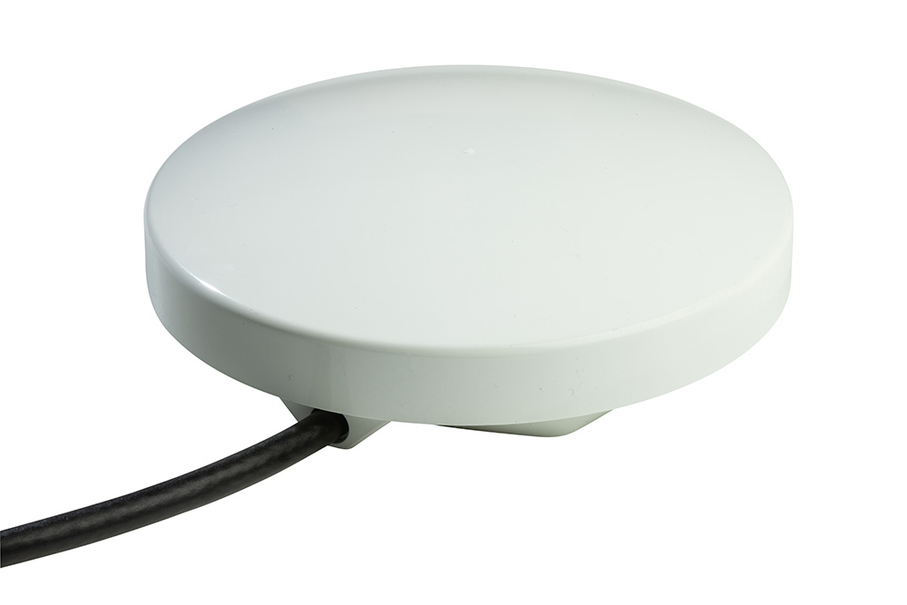
They opted for Ground Control’s RockBLOCK Plus satellite IoT transceiver to backhaul data from 1500 alerting devices across the country. The RockBLOCK Plus is waterproof, ruggedized, highly UV resistant and has a marine-grade Kevlar cable, making it ideal for long term outdoor deployment in the most severe environments.
Counting the Cost of Satellite Connectivity
While satellite has a reputation for being expensive, it has decreased in the last few years, with diversified services and new entrants bringing prices down. The investment locally is not as expensive or as vulnerable to damage as building the cellular network infrastructure. With global satellite coverage already in place, satellite IoT provides a means of gathering intelligence without the greater cost of building and managing network infrastructure development.
Satellite networks already contribute to programmes of meteorological measurement providing global data mapping of environmental change. However, further gains can be made if localised monitoring and data management are made accessible. Satellite IoT lends itself to solving this problem due to the flexibility with which data can be packaged and sent.
Local sensor data can be passed in small data packets and transferred as messages without the chatty protocol overheads of IP connectivity. With a little development expertise and guidance, the data costs can be kept to a minimum so that you’re only transferring the essential information that is needed. If it’s life saving data that’s helping monitor global environmental health, it really shouldn’t cost the earth!
Would you like to know more?
If you’re tackling an remote connectivity challenge, with constraints on power, budget and latency, we can almost certainly help.
Call us on +44 (0) 1452 751940 (UK) or +1.805.783.4600 (USA); email hello@groundcontrol.com, or complete the form.
We have over 20 years’ experience designing and building satellite communication devices, and our expert team is standing by to offer support and suggestions.

